Who we serve
Four buyers. Four different pictures.
Naval & security forces
Know the creek before you enter it.
Pre-operation ground truth, risk-tiered patrol intelligence, and six weeks of re-emergence watch after every raid.
Explore the solution →
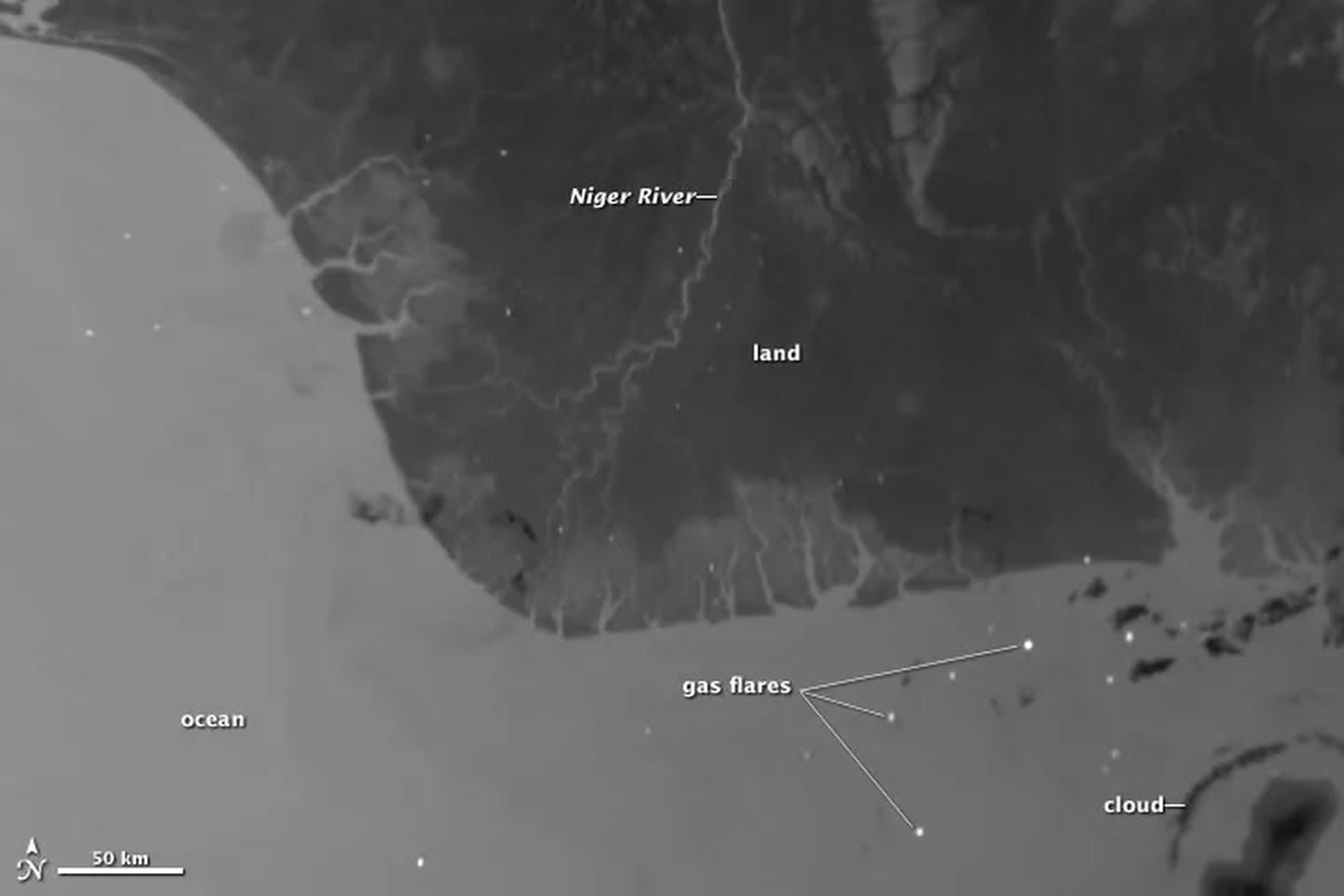
Oil & gas operators
Your pipeline, watched end to end.Page in build
Tap and theft detection in hours, oil spill detection and tracking on the water, right-of-way integrity, and affordable surveillance for post-divestment assets.
Talk to us →
Regulators & ministries
The independent record.Page in build
Operators self-report. Satellites do not. Incident verification, spill extent documentation, environmental impact records, and remediation tracking.
Talk to us →
Insurers & banks
Observed losses, not modelled ones.Page in build
Empirical loss-event records and continuous risk scoring for energy infrastructure portfolios across the corridor.
Talk to us →